
We’re excited to share our latest addition with you – the Edge North Fire Map! Born from the need for a centralized, plain language resource to track wildfires in the Northwest Territories (NWT).
At a glance, you can understand the current state of wildfire events across the territory.
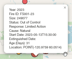
The map intuitively visualizes the latest wildfire data using different color markers for fires classified as “Under Control,” “Out of Control,” or “Extinguished.” Clicking on these markers reveals additional details such as the, size, cause, start date, extinguished date, status, and age.
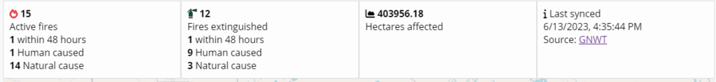
Alongside the map, you’ll find a detailed stats section providing stats on the number of active and extinguished fires, their causes, the total hectares affected and a few insights you won’t find anywhere else!
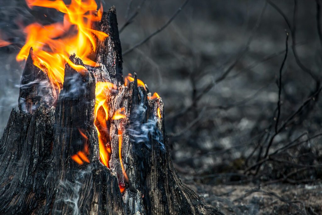
Remember, reporting any fires or smoke you encounter to 1-877-NWT-FIRE (1-877-698-3473) can make a significant difference. As we monitor wildfires closely, we rely on everyone’s cooperation to keep NWT safe.
Stay safe, NWT!