
The fire map and forecast is now paused till next season. Last updated: 10/6/2023, 8:00:10 AM
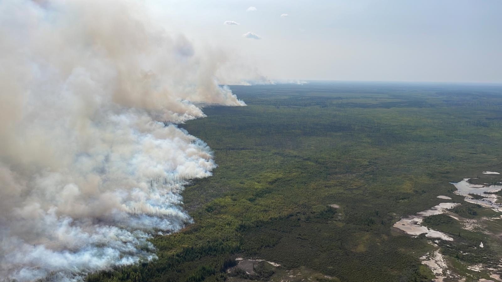
Use the NWT Fire Map for real-time Northwest Territories wildfire tracking. See where wildfires are with color-coded statuses like “Under Control,” “Out of Control,” and “Extinguished.” Access details on fire size, cause, age, perimeter, and Hyper-Local Air Quality via PurpleAir Integration.
Edge North’s Fire Map features pulsing animations for new fires, countdown indicators, and auto-refresh. Get real-time air quality, fire control status, and age insights. Use filters and zoom for areas of interest, and see total hectares affected and air quality impact.
Usage
- Map Navigation:
- Use your mouse to drag the map in any direction.
- To zoom in or out, scroll up or down with your mouse.
- On mobile devices, you can pinch to zoom.
- Layer Controls:
- Toggle map layers on and off using the checkboxes on the left side of the map.
- “Active Fires” and “Fire Perimeter Estimate” layers are available for display.
- “Air Quality” checkbox enables the display of air quality sensors when checked.
- Filtering:
- Use the checkboxes for “Status” and “Response” types to filter the display of fire markers on the map.
- Clicking on a fire, perimeter or air quality marker will show detailed information in a popup.
- If you have trouble clicking on a marker try toggling on and off the layer’s checkbox. This will bring the layer to the top. You can also try disabling other layers that may be getting in the way.
- Map Legend:
- The legend on the bottom left side of the map provides information about fire status counts
- Map Attribution:
- Map attributions and data sources are available in the bottom-right corner of the map. You can click on them to learn more about the data sources.
- Map Refresh:
- The map refreshes automatically at regular intervals.
- The countdown to the next refresh is displayed at the top right corner of the map.
- When the countdown reaches 00:00, the map will refresh. If it does not refresh on its own you can refresh the page.
Definitions
Perimeters
The estimated fire perimeters on the Edge North NWT Fire Map are generated from Fire M3 Season-to-date Buffered Hotspots, a part of Canada’s Fire M3 system by Natural Resources Canada. Utilizing low-resolution satellite imagery from sources like AVHRR, MODIS, and VIIRS, the system identifies “hotspots”—pixels with high infrared intensity indicative of fire. These hotspots are processed to exclude industrial heat sources, leaving only vegetation fires, and then aggregated to form estimated fire perimeters. Due to the low resolution, these estimates are best suited for large fires and should be considered rough approximations. Limitations include undetectable smaller fires and those obscured by clouds.
Earliest Hotspot Detected
Date and time of earliest hotspot
Latest Hotspot Detected
Date and time of latest hotspot
Air quality
We chose to use the U.S. Air Quality Index (AQI) over the Canadian AQHI. This is a practical decision primarily because PurpleAir only provides PM2.5 data. The AQI is designed to interpret a range of pollutants but is particularly effective when relying solely on PM2.5 measurements for air quality assessments. In contrast, the Canadian AQHI typically incorporates a broader range of pollutant metrics that we cannot access from our current data source. Using the AQI allows us to provide a reliable, understandable, and actionable air quality measurement for public health and safety using the available PM2.5 data.
| AQI Range | Description |
|---|---|
| 0 to 50 | Air quality is satisfactory, posing little or no risk. |
| 51 to 100 | Acceptable air quality but may pose risk to unusually sensitive individuals. |
| 101 to 150 | Health effects possible for sensitive groups; low risk for general public. |
| 151 to 200 | Health effects likely for some of the general public; more serious for sensitive groups. |
| 201 to 300 | Increased health risk for everyone. |
| 301 and higher | Emergency conditions; high health risk for everyone. |
Stages of control
Out of control
Describes a wildfire that is not responding (or only responding on a limited basis) to suppression action, such that the perimeter spread is not being contained.
Being held
Indicates that (with the resources currently committed to the fire) sufficient suppression action has been taken that the fire is not likely to spread beyond existing or predetermined boundaries under the prevailing and forecasted conditions.
Under control
The fire has received sufficient suppression action to ensure no further spread of the fire.
Extinguished
The fire has been extinguished
Response types
Being Monitored
Monitoring the fire to make sure it does not affect communities, cabins, infrastructure, or other environmental and social values later in the season.
Initial Attack
The action taken to halt the spread or potential spread of a fire by the first fire-fighting force to arrive at the fire. An Initial Attack Crew is a crew specially hired, trained, equipped and deployed to conduct initial attack on wildfires.
Sustained Action
All the action taken to halt the spread or potential spread of a fire following an ‘initial attack’.
Limited Action
Taking a specific action on only a portion of a fire to protect communities, cabins, infrastructure, or other environmental and social values. At times a fire may not be actioned directly and fire crews will only do value protection on specific sites.
These definitions are based on existing definitions https://www.gov.nt.ca/ecc/en/services/wildfire-operations/managing-wildfire and
https://www.gov.nt.ca/ecc/sites/ecc/files/documents/53_04_forest_fire_management_policy.pdf.
Sources
Markers and fire statistics
Government of Northwest Territories
Perimeters including earliest and latest hotspot data
Canadian Forest Service. 2022. Canadian Wildland Fire Information System (CWFIS), Natural Resources Canada, Canadian Forest Service, Northern Forestry Centre, Edmonton, Alberta.
Air quality
PurpleAir