Have you ever wondered why some streets in Yellowknife feel like a roller-coaster, or some of your neighbours’ fences seem to be sinking into the ground? Or maybe, depending on where you live in Yellowknife, your house might have cracks in the drywall that seem to reappear each year during the winter?
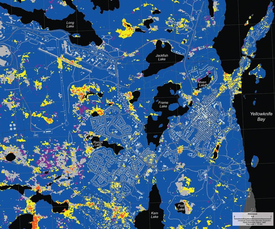
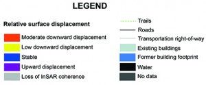
Remote sensing analysts with the GNWT, such as myself, along with Natural Resources Canada, are hoping satellite imagery might determine whether the answer could be climate change. For the past three years, between May and September, a satellite – more like a tiny camera in space – has been taking pictures of the light reflected off the earth’s surface. Similar to a police radar gun, it fires a beam to earth then measures the amount of time it takes to bounce back to space. It can detect whether the ground is sinking (or possibly rising) by as little as a centimetre. The longer the beam takes to travel back to space, the more the earth has lowered. And it appears parts of Yellowknife – on this map all the yellow and red areas – are going down.
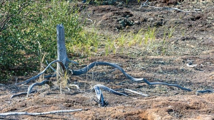
Is it because the active layer of the ground – the part that freezes seasonally – is melting, or the permafrost is melting, we still don’t have a definitive answer on that. We’re still validating, but our going assumption is it’s the permafrost. The photos on the following page show the effect of the ground subsiding seasonally, either because the active layer, or the permafrost has thawed, or maybe the soil compacted underneath the infrastructure.
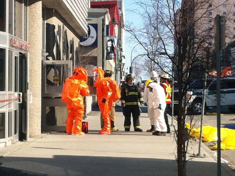
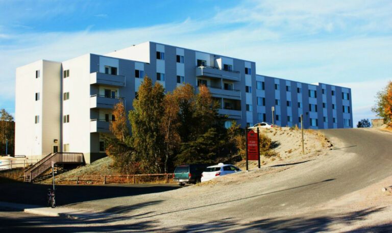
All this shifting takes its toll. There are huge costs involved with repair of roads, sidewalks and buildings. Not to mention breaks in water mains and sewer pipes. People’s houses are not going to sink. It’s more large areas that are at higher risk. We can help make people aware of what materials are underground so that proper decisions can be made on how to build in these areas, and reduce impacts on public and private infrastructure.