Herb Norwegian remembers the first time he saw the entire territory of the Dehcho mapped out to include over 40,000 historical, cultural, spiritual and traditional land-use sites spread across the massive region.
“It was like a dreamcatcher,” says the Grand Chief of the Dehcho First Nations, who spent over seven years in the ‘90s interviewing Elders and harvesters for the creation of their land-use plan.
Each interviewee was handed a pencil and asked to mark where they shot moose, where they picked medicines, where they knew graves were located, along with places like traplines, fishing spots, and the traditional names for features like creeks, valleys and islands.
“People tend to think of maps as navigational aides, but they’re really rich social and cultural documents.”
“The lines and dots and circles that appeared were like a signature of the land and how, since time immemorial, it took care of the people — the vibrant flesh of Mother Earth,” Norwegian recalls. “We were just mesmerized. Stunned.”
Beyond dots and lines
It’s testimonies like this that prove maps are more than just dots and lines, but actual stories, says Jess Dunkin, the land-based programs consultant for the NWT Recreation and Parks Association.
“I think people tend to think of maps as navigational aides, but they’re these really rich social and cultural documents,” she says.
“We often think about maps as these objective representations of reality; that there’s this sort of 1:1 correlation between how things are and how things end up on maps. If we think about maps in that way, then we miss out on a lot of information, like what is excluded or erased from the landscaping represented.”
Along with the Prince of Wales Northern Heritage Centre in Yellowknife, Dunkin is helping to host an event focused on the importance of maps and mapping in the territory this Thursday evening.
The event will feature eight “snappy” presentations on a wide breadth of cartography-centred topics in a ‘PechaKucha’ format, a fast-paced presentation style that limits slides to 25 seconds each. Speakers will explore how to make a map, the politics of mapping, maps and cultural landscapes and maps in literature.
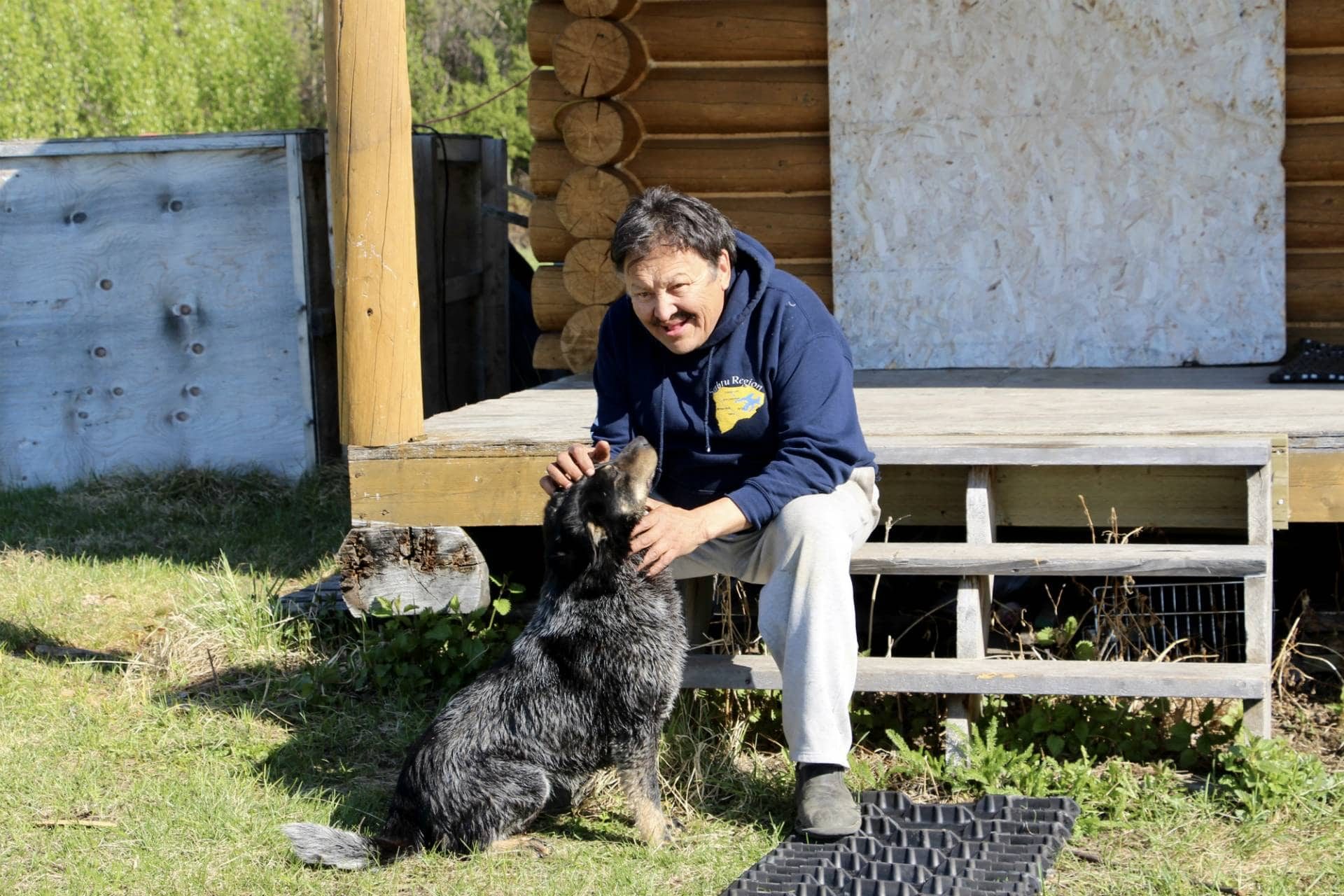
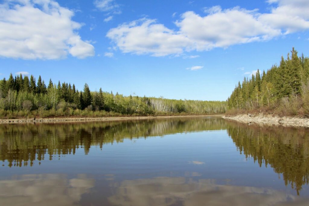
Herb Norwegian at his cabin at the mouth of the Rabbitskin where it meets the Dehcho
“We have speakers talking about everything from the 126-foot-long map of the Mackenzie River, which actually goes on rollers because it’s so big; to maps that were produced as part of the Dene mapping project in the 1980s; to the Rand-McNally globe which was a Cold War creation; to representations of the North in maps in fantasy literature,” Dunkin says. “So there’s a huge range of different kinds of maps.”
The event will also include a talk on remote sensing and satellite mapping, as well as a pop-up exhibit of mapping projects, art and artifacts, and will feature two Dene place names mapping projects, like the one ongoing in the Dehcho: the Dene Mapping Project of the 1970s and ‘80s, which is being updated and digitized in the Sahtu, and the more recently launched Gwich’in Place Names project.
“In the case of the Gwich’in place names project, it’s very much about connecting traditional places and names on digital maps,” Dunkin says. “It’s new ways of accessing and representing places in ways that are more accessible and created by the communities themselves, as opposed to maps that are produced by government bodies or explorers.”
Traditional names, traditional knowledge
Online traditional place name mapping has become a popular activity in almost every region of the territory over the last two decades, while communities have also chosen to assert their traditional titles through official name changes. Last week, the Dehcho community of Trout Lake became the latest to reclaim its Dene name as “Sambaa K’e,” joining the growing list of communities that have reverted from the names imposed on them by European explorers and settlers.
While the Dehcho has a great foundational map already digitized, work is ongoing to collect even more sites and stories from each community. Currently, most of the emphasis in the region is on concluding the ongoing mapping work around Jean Marie River, with Fort Providence and Kakisa next on the list.
Dahti Tsetso, resource management coordinator for the Dehcho First Nations, is hoping to assist that work by coordinating the annual spring youth camping trips and canoe expeditions in the region to meet at Jean Marie River, where the students can help document the stories of Elders through photos and videos that will then go online on a digital map, similar to that in the Gwich’in region.
“The end product will be a map you can access online,” Tsetso says. “It will be an interactive map where you can click and hear the place name, click a link to see a picture or hear a story, but it will be up to the communities to decide how much of their TK [traditional knowledge] they want to share and how much they don’t. So they’ll create secure levels so that way it’s password encrypted and you only get access if you have permission.”
Tsetso says traditional place mapping has been made such a high priority in the region because it’s a way to preserve traditional knowledge while asserting sovereignty.
“[Place name mapping] gives an opportunity for the youth to be on the land with Elders learning their own histories, and it’s language focused,” she says. “But also it’s very powerful work because it demonstrates governance; that Dene people were there.”
Join the NWT Recreation and Parks Association and the Prince of Wales Northern Heritage Centre in the Museum Auditorium on Thursday, May 26, 2016, at 7:00 p.m. for their PechaKucha event on maps and mapping.